January 28, 2022
How JAXA’s satellites track emissions and more
JAXA
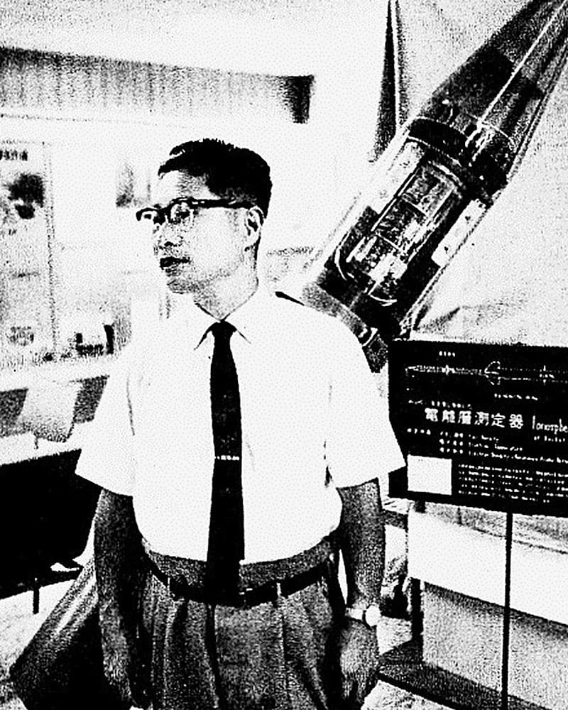
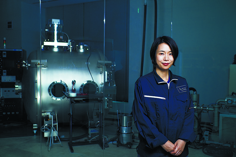
It was in 1987 that MOS-1, Japan’s first satellite to observe the Earth for environmental conservation and other purposes, was launched. Since then, JAXA has used the satellite to observe the state of the global environment and changes occurring to it with an eye to solving various global issues. “JAXA’s mission is not only to disseminate the scientific knowledge obtained from satellites, but also to tackle social issues in collaboration with various partner organizations around the world,” said JAXA’s senior chief officer of Earth observation missions, Takeshi Hirabayashi.
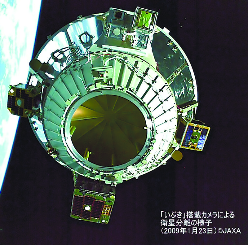
For example, following the adoption of the Kyoto Protocol in 1997, the world’s first satellite specializing in greenhouse gas observations, GOSAT, was launched in 2009 and has been in operation ever since. It has long been known that concentrations of carbon dioxide and methane in the atmosphere are rising steadily, but until recently satellite data has not been used in emissions reporting. However, GOSAT has showed that satellites can objectively observe each country’s emissions with transparent scientific evidence, and as a result, in 2019, the efficacy of satellite data was recognized for emissions reporting. The Global Stock Take (GST), which is stipulated in the Paris Agreement and is scheduled to take place 2023, is an opportunity to check the progress of each country’s greenhouse gas reduction efforts. JAXA is working with international organizations and related organizations in Japan and overseas to capitalize on its 12 years of data and know-how so that satellite data can be counted as scientific evidence in that process.
Japanese satellites also contribute to green innovation business by offering a wide range of observational data. For example, in the field of renewable energy, they can capture topographical and solar radiation data that can help in determining suitable locations for wind, hydroelectric and solar power generation. Early warning systems have been established using data from Japanese satellites that observe changes to forests and check for illegal logging in 77 countries, including in the Amazon, where about 6 million hectares of rainforest is lost annually. In Japan, there is a movement to conduct satellite-based observation of forests for local governments in areas where it is difficult to conduct ground-based surveys due to personnel shortages. A pilot program began with Ibaraki Prefecture in 2019.
In addition, in the fishing sector, satellites are being used to provide data on daily sea surface temperature changes. This is relayed to the fishing information center, giving fishermen useful information and allowing them to conduct their work more efficiently.
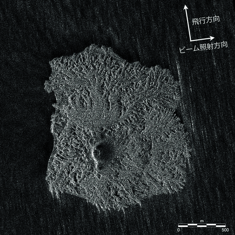
The other area JAXA is focusing on is providing information during emergencies such as natural disasters, and in addition predicting disasters. For example, monitoring for slight changes in the shape of a mountain to determine volcanic eruption alert levels and predicting areas of likely inundation during floods can both be conducted more efficiently with satellites than by helicopter, especially at night and during bad weather. Also, as the risk of serious accidents and disasters due to aging infrastructure has become more pronounced, JAXA is proceeding with efforts to monitor changes in infrastructure such as flood embankments to assist with preventive maintenance.
Based on achievements in these areas, the use of satellite data was officially included in the government’s disaster prevention basic plan in 2017, and the Ministry of Land, Infrastructure, Transport and Tourism as well as some local governments have formalized the use of satellite data in disaster response.
In addition to disaster response, Hirabayashi explains JAXA is also focusing on forecasting efforts, working for example with the University of Tokyo to develop a simulation system, Today’s Earth, that will predict flooding more than 30 hours in advance. “JAXA alone cannot make all the predictions in response to all global environmental issues. In the future, we plan to collaborate with a wider variety of institutions to investigate the processes and causal relationships of various phenomena,” he said.
宇宙から環境保全に貢献するJAXA地球観測技術の歩み
日本で初めて、環境保全に向けて地球観測を行う衛星が打ち上げられたのは1987年。以来JAXAでは、地球規模の課題解決を目的に多様な観測を行ってきた。
温室効果ガスの観測に特化した世界初の衛星「いぶき」は、2009年の打ち上げから今日まで観測を続けている。今後JAXAは12年間のデータとノウハウ蓄積の強みを活かし、国内外の機関と協力関係を築いている。
また再生可能エネルギー分野では、衛星から得られた地形データや日射量を活用して風力発電や水力発電、太陽光発電に適した設置場所の検討のために衛星データを提供するほか、熱帯雨林地域では対象77カ国の森林変化を観測し、違法伐採の監視に協力するなどの早期警戒システムを構築している。
さらには災害発生など緊急時における情報提供にも貢献。2017年には政府の基本計画に衛星データの活用が正式に盛り込まれた。現在は東京大学と共同で洪水の危険度を予測するシミュレーションシステムの実装を進めるなど、将来予測に向けた取り組みにも注力している。
Return to Sustainable Japan Magazine Vol. 8 article list page